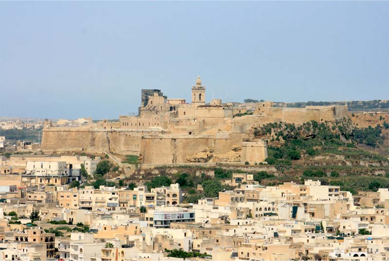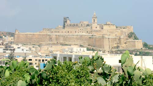
The citadel of Gozo
|
The Restoration Unit of Ministry for Resources and Rural Affair of Malta, started a survey and documentation project on the Gozo Citadel.The research main objective is the 3D survey of the external and internal surfaces of the fortified belt around the citadel and the map-ping of the current state of conservation of the structures.The main 3D high definition survey scope is to document and implement a model able to identify the geometry and morphology of every fortification element. |
|
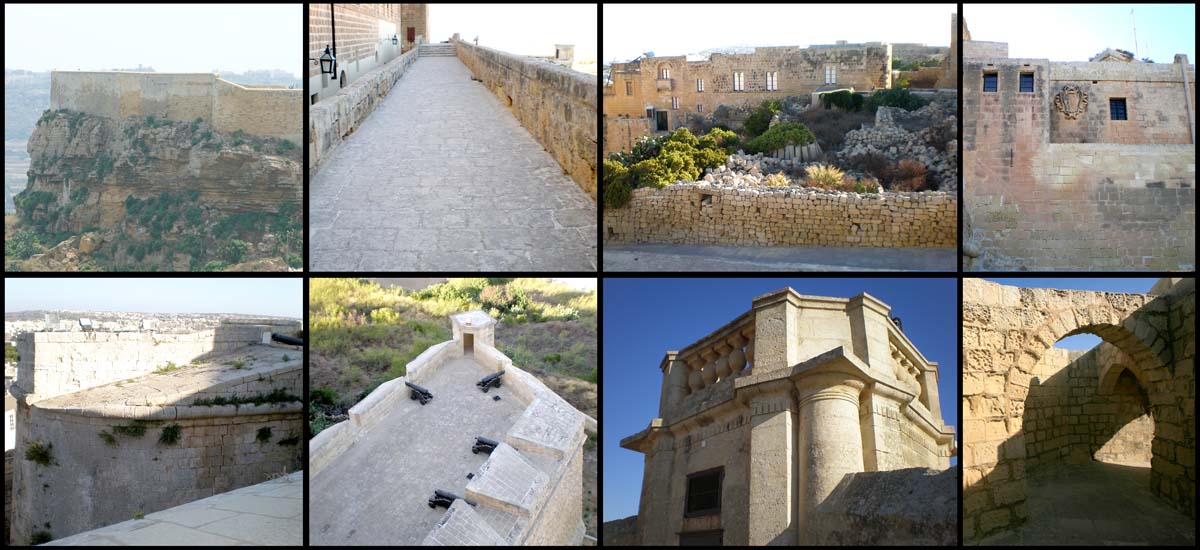
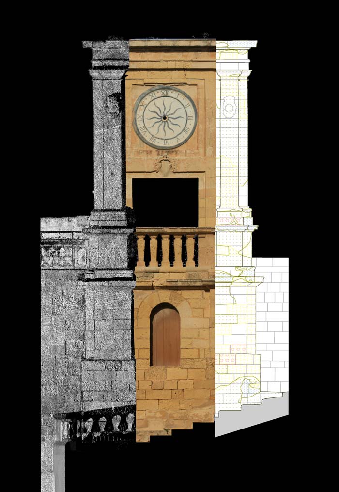
In this way it will be possible to obtain a bi-dimensional representation of single element in order to prepare an useful technical-scientific base for future restoration works.The survey, carefully planned to face the different difficulties of the site was carried out by integrated methodologies such us laser scanner 3D, topographic and photographic survey, and materials and degradation mapping of the whole citadel.The integrated study on geometries, morphologies and state of conservation was carried out bearing in mind the peculiar condition of the citadel heritage.For this reason the three-dimensional diagnostic survey followed the Uni Normal 1/88 legislation in order to classified every single materials deterioration form actually talking place in the ancient complex. |
 |